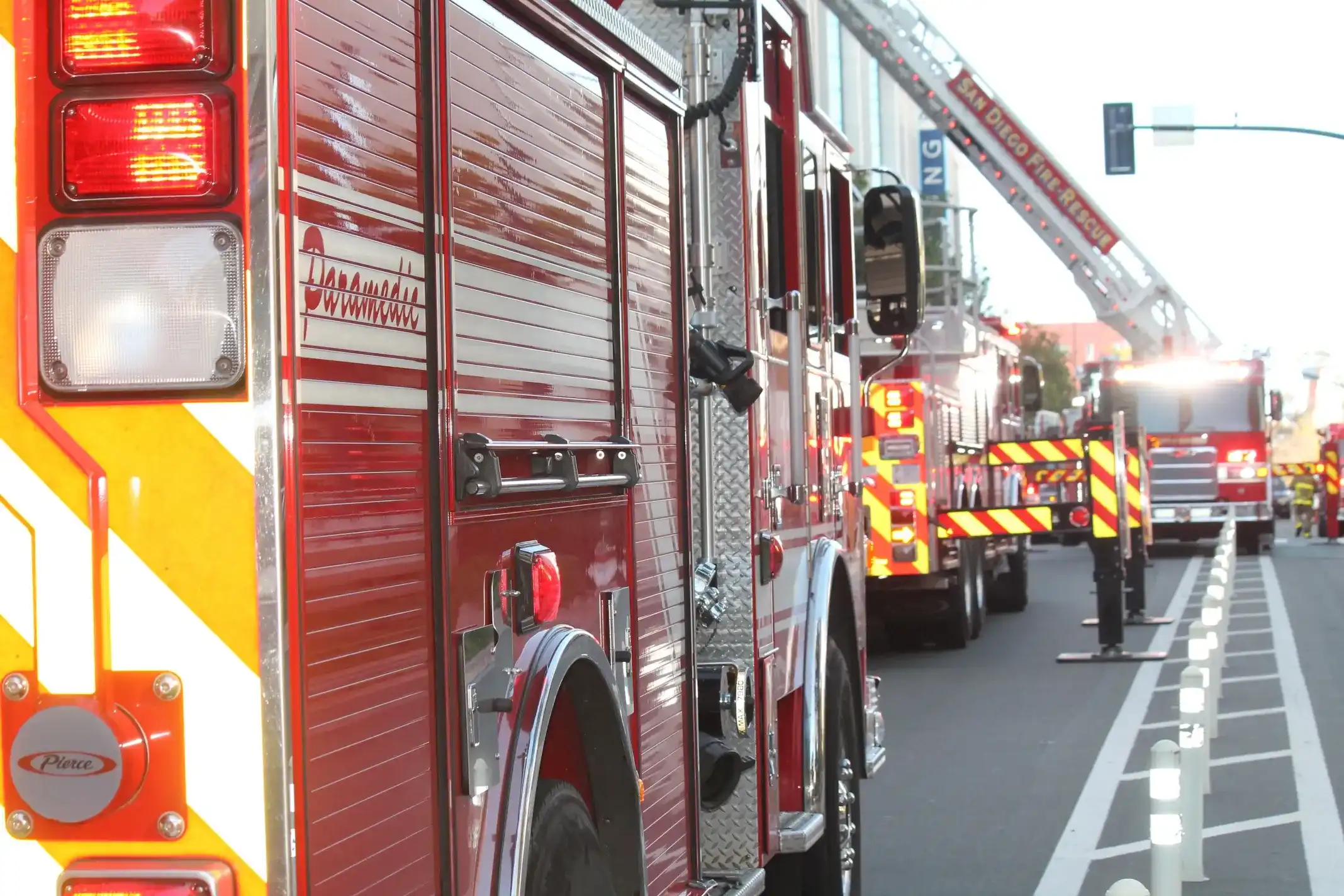
Fire departments play a critical role in ensuring public safety and emergency response. Accurate indoor mapping has emerged as a valuable tool for enhancing their effectiveness in emergencies. In this article, we'll explore the significance of accurate indoor maps for fire departments and how they contribute to efficient navigation, faster response times, and improved overall emergency preparedness.
What is an indoor map?
Indoor maps are dynamic guides that provide essential information about the layout of buildings and facilities, enabling efficient navigation within complex structures. Traditionally used for navigation and wayfinding in various settings, these maps are now a crucial application in many fire departments, assisting their emergency response capabilities.
The need for accurate indoor maps in fire departments
In the context of fire departments, accurate indoor maps hold immense importance for community safety. They enable firefighters and emergency responders to understand building layouts, swiftly locate critical points such as water connections, assess potential hazards, and plan their actions effectively before and during emergencies. By providing real-time insights into building layouts, indoor maps empower fire departments and aid in pre-incident planning, optimizing their safety operations, and enhancing their emergency response strategies.
Types of indoor maps
GPS-based navigation systems
Global Positioning System (GPS) technology is widely known for its outdoor navigation capabilities. However, when used indoors, GPS signals weaken or become entirely absent due to the obstruction of buildings and structures. As a result, traditional GIS-based navigation systems face limitations in providing accurate location information within indoor environments. However, advancements in indoor positioning systems have attempted to bridge this gap by combining GPS with other technologies, like Wi-Fi and Bluetooth, to provide more accurate indoor positioning.
Dead reckoning and hybrid systems
Dead reckoning systems utilize data from internal sensors, such as accelerometers and gyroscopes, to estimate changes in position based on movement. These systems can be effective for short distances, but they accumulate errors over time, potentially leading to inaccuracies in longer navigation scenarios. Hybrid systems combine dead reckoning with external references, such as known fixed points within the building, to enhance accuracy and mitigate error accumulation.
Inertial navigation systems (INS)
Inertial Navigation Systems rely on sensors to track changes in position, orientation, and velocity. These sensors include accelerometers, gyroscopes, and magnetometers. INS can provide accurate positioning data, especially in environments with limited external reference points. However, they may still suffer from drift and require periodic calibration to maintain accuracy.
Real-time locating systems (RTLS)
Real-Time Locating Systems utilize technologies like Wi-Fi, Bluetooth, RFID, and ultrasonic signals to determine the precise location of assets or individuals in real time. These systems offer a high level of accuracy and are particularly useful for tracking the movements of firefighters and emergency personnel within indoor environments.
Benefits of accurate indoor maps for fire departments
Accurate indoor maps bring a multitude of advantages to fire departments, revolutionizing the way they approach emergency preparedness and response. Here are some key benefits:
Improved navigational efficiency
Accurate indoor maps empower firefighters and emergency personnel to navigate complex indoor spaces with precision. With clear visual representations of building layouts and designated routes, responders can swiftly reach their destinations, minimizing confusion and maximizing their effectiveness during critical situations. Guiding firefighters to emergencies and outlining safe evacuation routes become seamlessly integrated processes, enhancing the overall efficiency of operations.
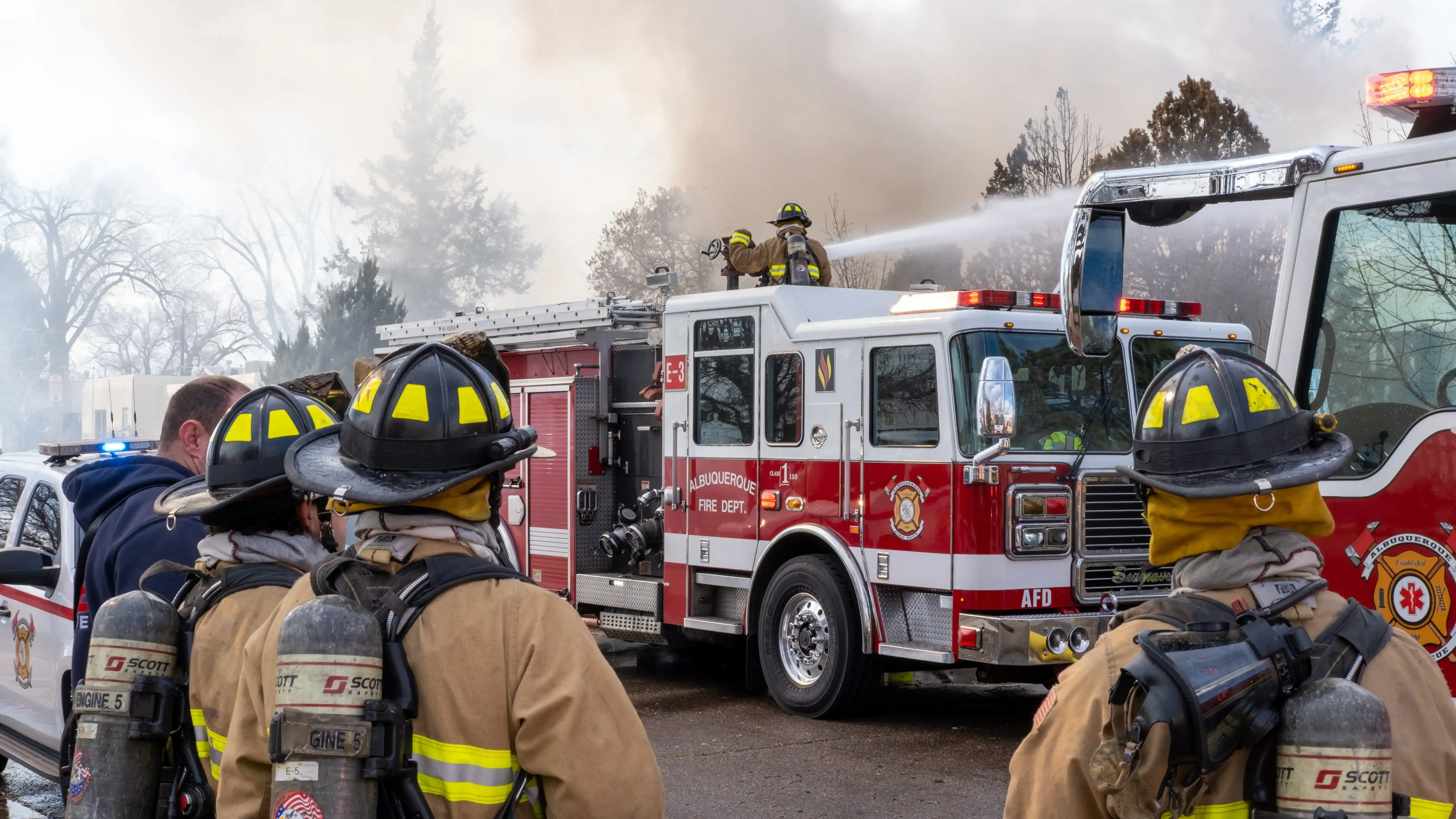
Faster response times to emergencies & incidents
In the high-stakes world of firefighting, every second counts. Accurate floor plans enable fire departments to optimize response times by providing real-time information on the location of emergencies and incidents. This rapid access to critical information allows firefighters to make informed decisions quickly and efficiently, safeguarding communities and schools. For example, this technology can greatly enhance the response time of medical personnel in a school setting.
Enhanced delivery time and level of accuracy
Accurate indoor maps contribute to the overall efficiency of fire departments by improving the accuracy of information delivery. Whether it's guiding firefighters to specific locations within a building or relaying vital details about hazards and access points, these maps ensure that information is delivered swiftly and accurately, enhancing overall operational effectiveness. Moreover, the task of providing detailed structural layouts and other critical information is streamlined, contributing to quicker response times.
Safer working environments & fire hazards management
Accurate indoor maps aid fire departments in identifying potential fire hazards, hazardous materials storage areas, emergency exits and fire extinguishers. This knowledge enables responders to make informed decisions to mitigate risks and ensure their own safety while navigating through complex indoor environments. Contributing to firefighter safety and assisting in risk assessment and decision-making are inherent benefits of utilizing accurate indoor maps.
Cost savings in installation and maintenance costs
Digital indoor maps emerge as a cost-effective solution for fire departments, as they eliminate the need for extensive installation and ongoing maintenance costs associated with traditional printed maps. Unlike printed counterparts, digital maps require no physical installation, reducing setup expenses. This is a prime example of how technology can save money for organizations.
Challenges associated with accurate indoor maps in fire departments
Often relying on binders of printed maps, fire departments encounter challenges that limit their situational awareness and ability to respond swiftly. Let's delve into these challenges and uncover how digital indoor mapping solutions offer a practical solution.
No fixed or accurate location
Printed maps, commonly outdated and lacking real-time updates, exacerbate the challenge of establishing a fixed reference point in dynamic indoor environments. Fire departments often encounter unfamiliar structures during emergencies, and relying on printed maps can complicate navigation due to inaccuracies and absence of current information. Unlike digital maps, which can be instantly updated to reflect changes, outdated printed maps fail to provide a reliable starting point necessary for accurate pre-incident planning.
Minimal actionable context
Printed maps struggle to provide the detailed context required for effective decision-making during emergencies. Often lacking pertinent information or dynamic updates, they hinder firefighters' ability to quickly interpret map data. In contrast, digital maps offer real-time contextual information, enabling responders to make informed choices efficiently.
Complexity of building structures
Indoor spaces can be intricate and multifaceted, posing a significant challenge for printed maps to accurately capture and represent. The complexities of building layouts, multilevel structures, and hidden passageways can render printed maps inadequate and confusing. Digital maps, on the other hand, provide the capability to incorporate detailed architectural nuances and updates, and offer different visualizations, ensuring accurate and comprehensive representation.
Up-to-date information
Printed maps suffer from the inherent inability to stay current in dynamic indoor environments. Frequent structural changes, renovations, or new construction render printed maps obsolete. In contrast, digital maps offer the advantage of real-time updates, ensuring that fire departments have access to the latest information, contributing to accurate navigation and efficient response.
Lack of GPS signal
While printed maps could be helpful during instances where there is no or very limited GPS signals indoors, they still do not provide information on your exact location indoors. This could potentially lead to unreliable navigation using printed maps. Digital maps, which can use indoor positioning systems, overcome this limitation by providing accurate location information even when GPS signals are weak or unavailable.
High accuracy requirements
The demanding nature of emergency response necessitates high accuracy while navigating buildings. Printed maps often fall short in meeting these accuracy requirements due to their static nature and limited updates. Digital maps, with their capacity for real-time updates and precise positioning, offer a reliable solution for achieving the level of accuracy crucial for effective emergency preparedness and response.

Integration with emergency systems
Printed maps struggle to integrate seamlessly with existing emergency systems, impeding the flow of critical information during emergencies. Digital maps are interactive and can be integrated with emergency systems used by dispatchers, ensuring cohesive and synchronized emergency responses.
Training and adoption
Introducing printed maps to fire department personnel may not adequately prepare responders for high-stress situations. In contrast, digital maps offer user-friendly interfaces and intuitive navigation, reducing the training burden and enhancing adoption rates among fire department personnel.
Maintaining map accuracy
Maintaining the accuracy of indoor maps is an ongoing challenge for fire departments. Understanding the scale at which building layouts are constantly evolving due to renovations and structural changes, provides a perspective of how printed maps quickly become outdated. Digital indoor mapping solutions offer a dynamic advantage in this regard. By providing easy-to-use mapping tools and features, these solutions ensure that fire departments have access to the most current and accurate building layouts, enhancing their operational efficiency and emergency response capabilities.
Emergency innovation with real-time location
Digital indoor maps, integrated with real-time tracking technologies, enable fire teams to pinpoint their location within a building instantaneously. This innovation enhances their situational awareness, accelerates decision-making, and allows for more precise deployment of resources during emergencies, ultimately leading to more effective incident management.
Turn paper maps into useful digital maps
Do you have a stack of paper maps that are difficult to update? Mappedin is an industry-changing solution for fire departments like yours. We understand the challenges of relying on outdated paper maps, especially during fire and safety inspections as well as fast-paced emergency scenarios. Mappedin offers a transformative way to digitize and maintain building maps with ease, ensuring accurate and accessible information when you need it the most.
Key takeaways
Accurate indoor maps are a critical asset for fire departments, enhancing their navigational efficiency, response times, and overall emergency preparedness. Digital solutions provide up-to-date and dynamic mapping capabilities that surpass the limitations of traditional printed maps. These solutions not only improve operational effectiveness but also contribute to firefighter safety and successful emergency management.
FAQs
How can indoor maps enhance the efficiency of fire departments?
Indoor maps offer a comprehensive overview of complex building structures, enabling fire departments to navigate with precision during emergencies. By providing real-time updates and location tracking, indoor maps streamline navigation, optimize resource allocation, and facilitate quicker response times.
How can accurate indoor maps aid in the planning of firefighting strategies?
Accurate indoor maps allow fire departments to strategize effectively by visualizing building layouts and identifying potential hazards in advance. During pre-incident planning and annual fire and safety inspections, these maps enable informed decision-making, leading to more efficient firefighting strategies and improved incident management.
How do indoor maps contribute to firefighter safety?
Indoor maps play a vital role in enhancing firefighter safety. By offering real-time location data, these maps help firefighters navigate through hazardous environments with precision. This technology minimizes risks, enables efficient evacuation routes, and supports timely decision-making, ultimately ensuring the safety of both firefighters and those they rescue. This is particularly crucial when dealing with unpredictable situations such as fires and other emergencies.
Tagged In
Share